
A map is more than a representation of place. It is a way of
understanding how landscapes evolve, how risks emerge, and where decisions need
to be made.
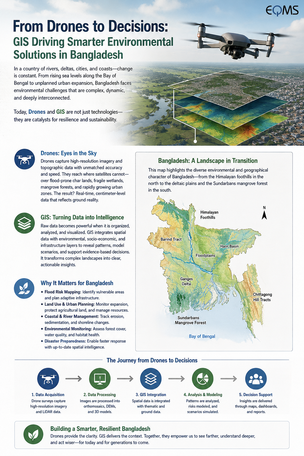
In Bangladesh—a country shaped by rivers, floodplains,
coastlines, expanding cities, and climate variability—the ability to
continuously observe and interpret geographic change is becoming increasingly
important. GIS, Remote Sensing, UAVs, and geospatial automation are
transforming that ability.
From the Sky to the Map
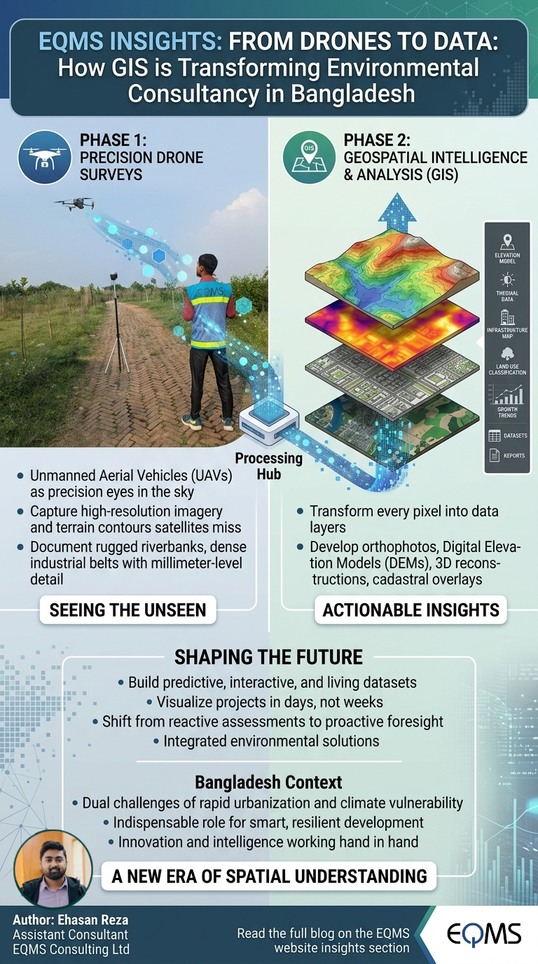
Modern drones have evolved from simple aerial cameras into
sophisticated geospatial data-acquisition platforms. Equipped with
high-resolution cameras, RTK/PPK positioning systems and, in some applications,
LiDAR sensors, UAVs can capture detailed information about landscapes that
conventional surveys may struggle to document efficiently.
A drone survey can generate orthomosaics, point clouds,
Digital Surface Models (DSM), Digital Terrain Models (DTM), and 3D
models—turning a physical landscape into a measurable digital environment.
But collecting data is only the beginning.
When Data Becomes Intelligence
This is where GIS becomes the analytical backbone.
By integrating UAV-derived datasets with satellite imagery,
DEMs, GNSS observations, field data, land-use information and environmental
indicators, GIS can reveal relationships that are difficult to see from
individual datasets.
For Bangladesh, these capabilities have applications across
flood-risk assessment, riverbank erosion monitoring, coastal management, urban
expansion, environmental monitoring, infrastructure planning and
natural-resource management.
A river is no longer simply a blue line on a map. Through
time-series analysis, its changing course can become measurable evidence of
erosion and morphological change.
An expanding city is no longer merely a pattern of
buildings. Through multi-temporal satellite imagery and spatial analysis, its
growth can be quantified and its environmental implications assessed.
The Emergence of Automated Cartography
The next frontier is automation.
Traditionally, producing a map involves numerous repetitive
steps—from data preparation and spatial analysis to symbology, labelling,
annotation and final layout. With geospatial programming and automated
workflows, many of these processes can be systematized.
A change in the input data can generate an updated analysis
and, ultimately, an updated map.
This makes geospatial outputs faster, consistent, scalable
and reproducible.
The map therefore becomes more than a static product. It
becomes the visible output of a living analytical system.
Toward a Geospatially Intelligent Bangladesh
The future of environmental and development planning will
increasingly depend on our ability to understand where change occurs, why it
occurs, and how it evolves over time.
The convergence of drones, Earth observation, GIS, cloud
computing, programming and GeoAI is opening that possibility.
For Bangladesh, the opportunity is profound: to move from
simply mapping the landscape to continuously understanding it.
Because the future of geospatial science is not only about
making better maps.
It is about turning spatial data into better decisions.
Share this page via
More from Ehasan Reza